 0 miles
Glenara Elite Travel in County Londonderry
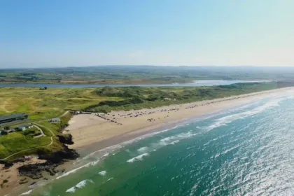
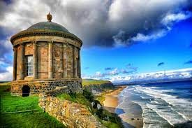
The Causeway Coast has lots of tales, folklore, and history, with everything from ancient ruins carved by battling warriors to magnificent beaches, champion golf courses, and amazing cliff-top views. Many interesting stories are hidden behind castles and ruins, and Game of Thrones ...